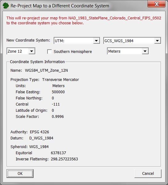
Use this dialog to change your project map from one projected coordinate system to another.
See the Coordinate System dialog for help with using this dialog.
Note: there are some types of data in VSP that cannot be re-projected, but will be erased from your project during this process. This includes:
Background Pictures
Background Tile Images
Raster Data
3D Elevation Data
Building Footprints